The best way to predict the future is to invent it. Innovation is becoming the modern competitive advantage and organizations are striving for data driven transformation. Solutions need to be faster, more intelligent, and provide the insight necessary to make progressive and innovative changes.


In 2019, Oakville Hydro began its journey towards spatial excellence with the development of the Spatial Data Roadmap.
This Oakville Hydro initiative was designed to improve the organization’s spatial data resources through inter-departmental collaboration and alignment in the pursuit of data excellence.

Oakville Hydro recognizes the value and importance of spatial data in their day to day operations, and its impact on customer reliability and safety.
The project quickly evolved into a journey to improve the organization’s data maturity model, allowing it to better integrate with artificial intelligence (AI) for decision-making practices. It is an ambitious initiative that will help Oakville Hydro adopt the latest disruptive technologies.

A full inventory of initiatives was developed, with the main focus on data capture, visualization, and automation. Oakville Hydro engaged multiple resources, both internal and external, to make this a reality.
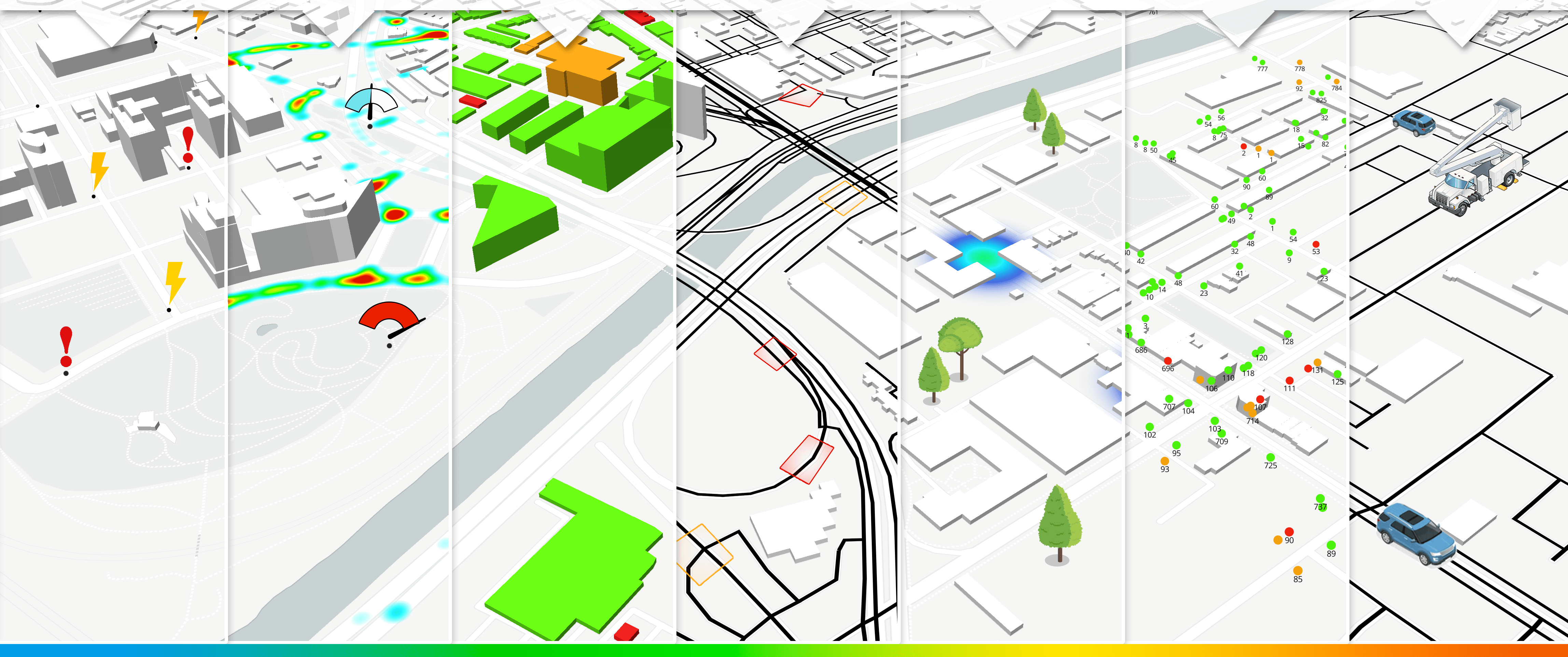
Oakville Hydro’s first initiatives included integration between health indices and spatial locations to select rebuilds, root cause analysis of failures, operational tools to better locate trouble areas in the field, spatial analytics to optimally install range extending equipment for our IoT (Internet of Things) devices, and AI driven inspections. The organization plans on continuing its Spatial Data journey and wants to share its experiences with others to encourage with others to encourage a “map-first'” approach to problem solving within utilities.
The best way to predict the future is to invent it.
