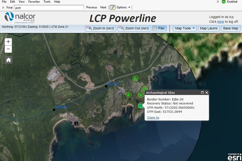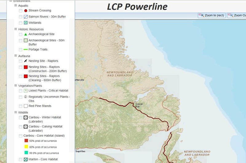
LCP Powerline is a web‐based mapping application that provides online maps, geographically referenced data and hyperlinked documents to project staff, contractors, regulators and stakeholders of the Nalcor Energy – Lower Churchill Project (LCP).
The primary objective is to support environmental monitoring of construction and clearing activities associated with the project, and provide a tool for regulators and other stakeholders to obtain this information.
Powerline allows multiple layers to be analyzed including up-to-date construction activities such as transmission infrastructure and access roads, environmental constraints such as historic resources and protected wildlife, and regulatory constraints such as protected public water supplies and planning boundaries.

An additional benefit of Powerline is the ability to minimize project interactions with sensitive habitat to ensure optimal protection of the environment throughout construction.
This tool allows LCP to demonstrate the application of regulatory best‐practices and compliance with permit conditions so regulatory stakeholders can monitor project activities from their desktop.
This innovative technology provides invested and interested stakeholders with a tool that allows them to access near real‐time environmental data which has garnered significant attention when presented at conferences, workshops, and presentations. It also caught the attention of the Professional Engineers and Geoscientists, Newfoundland and Labrador (PEGNL), winning its 2017 Environment Award, recognizing the application of science, technology and engineering to human and resource environmental management in the province.
To project knowledge, LCP Powerline is the first project designed GIS application used specifically to report directly to Provincial and Federal Regulators in real-time and exceeds the standards of industry peers.

